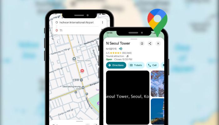
South Korea – Tourists and locals in South Korea may finally get fully functional Google Maps after the government conditionally approved the transfer of high-precision map data abroad. The move comes under strict conditions designed to protect national security. The Ministry of Land, Infrastructure...
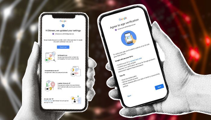
Singapore – Google will roll out age assurance solutions across its products in Singapore in the first quarter of 2026, as part of its ongoing commitment to keeping children and teenagers safe online. The initiative was announced at the Safer with Google event, graced by Minister of State for Digital...
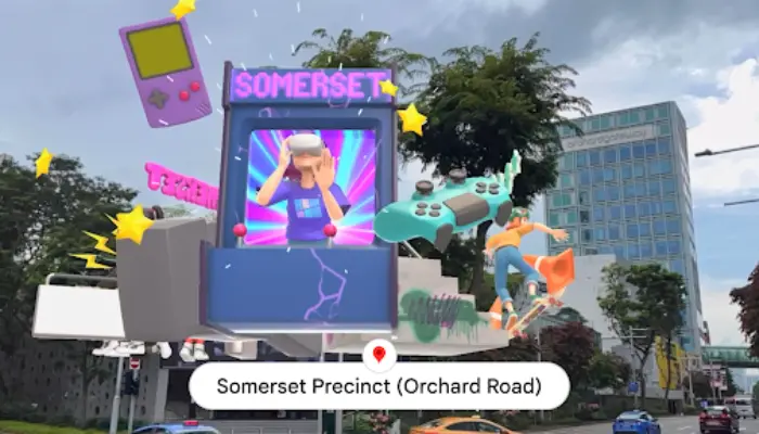
This partnership with Google builds upon the success of Merli’s Immersive Adventure – an innovative AR tour to six enchanting stops around Singapore through STB’s Visit Singapore Travel Guide app launched in January this year.
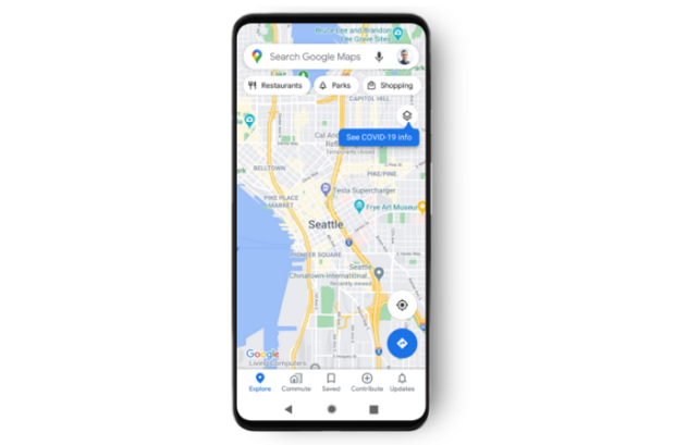
Users will now be able to know the 7-day average of new COVID cases in an area.